Hong Kong News

Hong Kong Observatory issues No 1 typhoon warning signal as Nesat edges closer to city
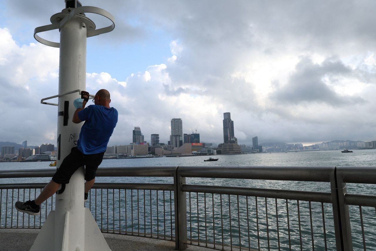
The Hong Kong Observatory has issued the No 1 warning signal and will consider upgrading it to the No 3 alert on Monday as Typhoon Nesat edges closer to the city.
The No 1 signal was raised at 9.20pm on Sunday, meaning a tropical cyclone was centred within about 800km of Hong Kong and might affect the city. Nesat had intensified from a severe tropical storm into a typhoon.
At 10pm, the typhoon was estimated to be about 520km east-southeast of Hong Kong, and was forecast to move west or west-southwest at about 15km/h crossing the northern part of the South China Sea.
The weather forecaster said the No 1 warning signal would remain in force before 5am on Monday.
 The Observatory says temperatures may drop this week.
It added that winds were expected to strengthen gradually and it would consider issuing the No 3 typhoon signal, depending on changes locally.
The Observatory said according to the present forecast track, Nesat would gradually edge closer to the coast of southern China on Sunday night or Monday morning.
Nesat would approach the coast of Guangdong on Monday at a distance of about 400km (249 miles) from Hong Kong, closer to the Pearl River Delta than previously expected, the weather forecaster said earlier.
It had gathered north of the Philippines as of Sunday morning and continued to approach the northeastern South China Sea.
“Using satellite images, we can see that the overall cloud cover in the coastal area is relatively sporadic and thin,” said Lily Leung Lai-lai, a scientific officer at the Observatory.
“As Nesat will maintain a distance of 400km from Hong Kong, there will be little direct threat to Hong Kong.”
However, under the influence of the northeast monsoon, the typhoon will still bring strong northerly winds to offshore regions, with high grounds likely to experience gale-force levels at 63km/h (39mph) or above.
The Observatory said earlier that the northeast monsoon would lower the city’s temperature on Tuesday and Wednesday to 19 degrees Celsius (66 Fahrenheit) in urban areas and several degrees lower in the New Territories.
Meanwhile, Macau’s Meteorological and Geophysical Bureau issued the typhoon signal No 1 at 2pm.
It said, however, the possibility of issuing higher signals was low during the evening. The cyclone would not directly affect the city, it added, as there was no astronomical tide in the coming days.
According to the Macau forecaster, Nesat was located about 640km east-southeast of the city at 8pm and was expected to move towards the coast of Vietnam.


